
Town of Salina Neighbors by Block
Records about the Town of Salina block around an address answer different questions. County GIS shows the shapes and identifiers of nearby parcels. The assessment roll identifies an owner and contains distinct situs and owner-address fields. Deeds show title transfers, while older directories can place a printed name at an address on a publication date. None of those sources is a complete list of neighbors or household members. Start with the source that matches the question, then retain the date and field that produced each result.
| Block source | What it contributes | Access and limit |
|---|---|---|
| Onondaga County GIS | Parcel geometry, address or owner search, nearby parcels, district layers | Public viewer; not survey or legal-boundary proof |
| Assessment roll | Owner, owner address, situs, class, value, exemptions, and parcel fields | Go2Gov, PDF, or counter; owner is not a full household |
| Cott deed index | Transfer parties and legal descriptions for one parcel | Free index; images may require payment or counter access |
| New York voter lookup | Registration lead for a known individual | No confirmed public whole-block mode |
| Board of Elections file | Potential registration fields under a certified request | Election-purpose request and statutory restrictions |
| Directories and telephone books | Historical printed address snapshots | OCPL access; gaps and unlisted entries remain |
| Community organizations | Public association history, officers, or contact routes | No public member directory located for the named groups |
A parcel owner can live elsewhere, and an occupied address may not appear in an ownership record. The phrase Town of Salina neighbors should therefore mean a block-research task with clear evidence limits, not a claim about everyone at an address.
Town of Salina GIS Parcel Method
The Onondaga County GIS viewer starts with an owner name, address, or parcel ID. Basic searches accept partial strings, and the municipality selector can cover all municipalities or a selected one. A result appears in the data panel and corresponds to a map feature. Click the target parcel first, save its tax-map reference, then zoom out one or two levels and select neighboring polygons one by one. The viewer also offers address finding, measurement, PDF export, CSV export, and layers for parcels, land use, ZIP boundaries, districts, and planning context.
Block flow: target address → target parcel and tax-map ID → nearby parcel polygons → separate assessment entry for each parcel → deed index only when a title question remains. This keeps the target parcel separate from its surrounding parcels and avoids turning map proximity into a resident list.
GIS is a discovery tool. The county says the parcel data comes from public records and assessment sources, but the boundaries are not survey-grade and are not legal evidence. For the full current street chain after a parcel is identified, the Town of Salina street directory follows the address-by-address method.
Town of Salina Buffer Results
The GIS Buffer control can define a practical map radius around a selected target. Choose the distance, units, and target, then review the parcels selected within that buffer. Measurement and zoom tools help distinguish a compact group from a broader area. A CSV or PDF export may be available in the session, but an export remains a viewer result rather than a title, survey, or occupancy document.
Buffer results are about proximity. A parcel that falls within the selected distance may be on another street, in a different ZIP Code, or tied to a different school district or subdivision. Directly touching parcel lines also do not prove a shared household, association membership, or personal relationship. Keep the target address, the selected radius, and every parcel result in separate notes.
Note: County GIS can identify map proximity, but only the responsible record custodian can confirm a record's official meaning.
Town of Salina Neighbor Field Checks
After GIS identifies a nearby parcel, use the Onondaga Go2Gov property search to inspect the assessment entry. Go2Gov offers Tax Map Number, Owner Name, Property Address, and Mailing Address modes. The owner-name search uses a required last name and optional first and middle names. The property and mailing searches use an optional street number plus a required street name. Those modes help locate a record, but they do not merge the facts in it.
| Field to preserve | Why it stays separate |
|---|---|
| Tax-map number | Connects the map feature to an assessment record and legal-description research. |
| Situs or property location | Names the physical parcel location, not necessarily the owner's address. |
| Current owner address | Is an assessment field that may differ from the situs and does not prove occupancy. |
| Property class and land use | Describe assessment and map categories, not the people at the parcel. |
| Lot, subdivision, or tax description | Helps distinguish parcels when similar street names or addresses create confusion. |
If a recorded-title question remains, search the owner as a grantee in the Cott land-record index. Carry the legal description, recording date, party names, and document reference forward. Owner name and owner address should never be converted into an assertion about who your Town of Salina neighbors are.
The Onondaga Go2Gov property-search screen below shows the separate owner, property-address, mailing-address, and tax-map entry points used to inspect one selected parcel.
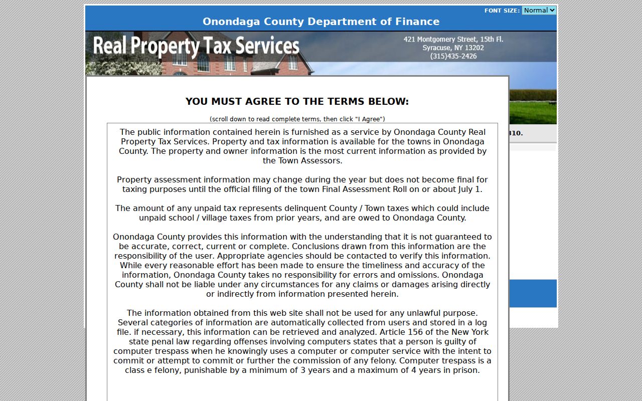
Use the mode that matches the field being checked, then preserve the record's limits. The screen can lead to an owner or parcel record, not a public block roster.
Town of Salina Voter Boundary
The New York voter lookup is person-centered. It uses County, Last Name, First Name, Date of Birth, and ZIP Code in its public workflow, with address information referenced in its instructions. It has no confirmed public button that returns every voter on a block. A result is a registration or polling-information lead for a known person, not evidence about nearby parcels or all Town of Salina neighbors.
Election Law §3-220 keeps registration records under Board of Elections supervision and protects driver-license, non-driver ID, and Social Security information. A full voter-file request goes through the Board of Elections Records Access Officer, requires elections-purpose certification, and is subject to list-use restrictions. Confidential-voter records and Address Confidentiality Program substitute addresses remain protected. Do not fill a block roster from a public lookup or from a missing result.
Belmont Village Community Context
Belmont Village Maintenance Association provides a useful development-era context for Town of Salina neighbors near that community. Its public history says the community was established in 1966 and homes date to 1967 through 1969, with association-governed services. That history can help frame a parcel, plat, directory, or assessment search around the development period. It does not identify every owner, occupant, or member of the association.
The public association material offers community information and a contact route, but no public member directory was found. Ask the association directly about records it chooses to share and follow its rules. The most reliable public evidence for a particular parcel remains the date-stamped assessment, deed, and map record rather than a guessed association connection.
Note: A neighborhood's development history can add context, but it cannot identify present owners, occupants, or association members.
Bayberry and Lyncourt Context
Bayberry Community Association makes community information and officers available publicly, with officers nominated yearly. No public member directory was located. It is a route for community contact and public association facts, not a way to enumerate nearby households. The same caution applies to civic, congregation, veterans, and block-watch material: OHA and OCPL finding aids may support historical research, while current rosters were not located in the reviewed sources.
Lyncourt Union Free School District describes Lyncourt as a Town of Salina community of about 4,250 residents bordering East Syracuse-Minoa, North Syracuse, and Syracuse. That gives community geography, not a household list. The district information and a public mention of a Lyncourt Neighborhood Watch should not be treated as proof that any parcel belongs to an organization or that a person is a member.
Syracuse Boundary, Not Salina Coverage
Municipal boundaries matter when researching Town of Salina neighbors. The City of Syracuse neighborhood-associations page lists organizations within Syracuse city. It is useful only as a boundary comparison. A Syracuse association listing does not show that a Town of Salina parcel is in that association, and postal labels such as Syracuse do not settle town jurisdiction.
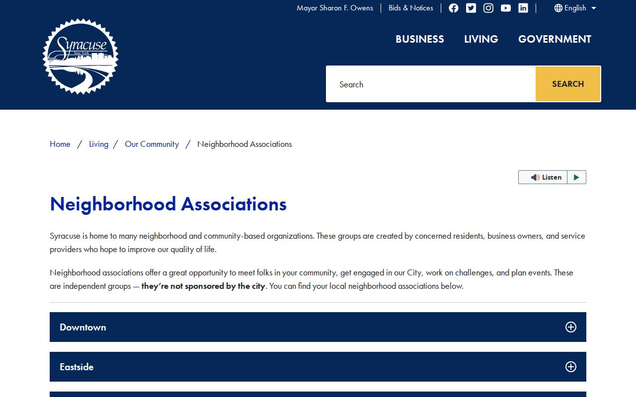
The pictured Syracuse page is a city-only comparison source, not Salina coverage. Confirm a target parcel through county GIS, the assessment roll, and its municipality field before using any city community resource. The GIS image capture failed, so no parcel-map image is used for the Salina neighbor record.
Town of Salina Neighbor Sources Compared
Official records and commercial neighbor tools serve different purposes. A commercial compilation may join old addresses, parcel data, marketing information, and public filings, but its household inferences can be stale or mismatched. County systems state where a field came from and preserve the distinction between parcel, owner, registration, and title information. For a personal or neighborhood-curiosity question, source provenance is more useful than an unverified combined profile.
| Source category | Strength | Limit to keep in view |
|---|---|---|
| County GIS and assessment data | Identifies a parcel, map context, owner field, and roll date. | Does not identify every occupant or create legal boundaries. |
| Recorded deeds | Shows dated title parties and legal descriptions. | Ownership is not current residency. |
| Historical directories | Places a printed name at an address in a period source. | Gaps, publication dates, and unlisted entries matter. |
| Commercial neighbor tools | May supply a lead to verify elsewhere. | Compiled data can be outdated, mismatched, or overbroad. |
Use a commercial result only as a lead to test against a current public source. Preserve the official source and access date when a parcel, recorded title party, or historical address is important.
Note: Official provenance matters most when several sources attach the same name to different addresses or dates.
Town of Salina Neighbor Privacy Limits
Private block facts stay private. Public sources do not provide a complete list of renters, household members, utility or delivery customers, DMV addresses, confidential-voter actual addresses, sealed court details, restricted vital records, or association member lists that an association has not published. New York's Address Confidentiality Program under Executive Law §108 can supply a substitute address for eligible participants, and confidential voter records are separately protected. A map, an owner field, or a community contact must not be used to infer a person's private details.
For a historical block question, OCPL and OHA finding aids can offer dated community context. They do not erase the privacy boundaries that apply to current household and protected-address information.
Lawful use. Use information about Town of Salina neighbors for lawful personal research, local history, and civic awareness. Do not use a map, parcel record, association fact, or contact detail to watch, harass, threaten, or intimidate anyone.