
Salina ZIP Code Coverage
Six ZIP codes form the working Salina coverage set in the county's generalized ZIP map and official Salina or Onondaga address examples. They are starting points, not a street-level boundary list. County Planning says its ZIP-boundary map is approximate and derived from local sources rather than official USPS boundaries. Check the exact delivery address through USPS before treating any row as an inclusion decision.
| ZIP | Areas / addresses associated with Salina | Post office / postal city evidence | Notes |
|---|---|---|---|
| 13088 | Liverpool, Town Hall, Liverpool-area residential and civic addresses | Liverpool postal label; Town Hall, 201 School Road, Liverpool NY 13088 | Town Hall is Salina even though postal city is Liverpool; boundaries are not town limits |
| 13090 | Liverpool/Elmcrest/Long Branch-area addresses | Liverpool NY 13090 in official state environmental notice/project addresses | Town and school/project geography must be verified by address; not every Liverpool label is necessarily Salina |
| 13206 | Lyncourt/east-Syracuse-facing addresses including Vine Street example | Syracuse NY 13206; 2025 roll owner address 416 Schaffer Ave, Syracuse NY 13206 | A Salina situs can have a Syracuse mailing/city label; sample owner address is not the situs |
| 13208 | Syracuse north-side/Salina-edge addresses on generalized county map | Syracuse postal label | Exact USPS Salina street list/post-office station not located; map label is not parcel proof |
| 13211 | Mattydale/Brown Avenue area and Salina Library area | Mattydale NY 13211; Salina Library, 100 Belmont Street, Mattydale NY 13211; county planning records include Brown Ave Salina addresses | Postal city differs from Town of Salina; verify exact boundary/address |
| 13212 | North-Syracuse/Salina-edge addresses and county-map coverage | Syracuse/North Syracuse postal usage appears in official project/address material | Exact USPS ZIP type, station, and Salina address-level coverage not located |
These qualifiers matter. The table does not claim that every address with a Liverpool, Mattydale, Syracuse, or North Syracuse label is in Salina. It records the evidence found for a working ZIP code directory and preserves the places where address-level USPS confirmation was not located.
Salina ZIP Code Liverpool Labels
Liverpool is a useful example of why postal city and municipal jurisdiction must be separated. Town Hall uses the Liverpool 13088 postal label, but it is a Town of Salina address. The 13090 row is supported by Liverpool/Elmcrest/Long Branch-area project-address material, not by a statement that the entire ZIP lies within Salina. A school district, project name, or postal city can add context, yet none independently decides town jurisdiction.
When a result uses a Liverpool label, compare the property location in the assessment roll with the county GIS parcel and the legal description in a deed or plat. The Go2Gov property search offers property-address and tax-map routes, while the Onondaga GIS viewer provides parcel and municipality context. Neither was documented as a confirmed ZIP-only resident export.
Salina ZIP Code Edge Areas
The Syracuse-facing ZIP rows need the same restraint. The 2025 assessment-roll example has 821 Vine St as the physical Property Location and 416 Schaffer Ave, Syracuse NY 13206 as the Current Owner's Address. The record also carries Liverpool school-district and Liverpool Manor tax-description information. Those four labels describe different record fields. They do not make the owner address the situs or make a school label a postal or town-boundary decision.
For 13208 and 13212, the research found generalized-map and project/address support but not an exact USPS Salina street list, post-office station, or address-level coverage determination. A Salina ZIP code directory should retain that gap rather than turn an edge label into a hard boundary claim. The more reliable sequence is delivery address, parcel location, municipal record, and then the dated source being searched.
Note: A postal city, school district, and tax jurisdiction can all differ for one Salina parcel without contradicting one another.
Verify Salina ZIP Code Delivery
USPS ZIP Code Lookup is the address-level check for a current delivery ZIP or ZIP+4. It validates postal delivery for the address entered. It does not identify an owner, prove that a person resides there, show a parcel boundary, or override the assessor's situs and legal description. That narrow role is precisely why it is the right first check when a Salina ZIP code directory entry needs confirmation.
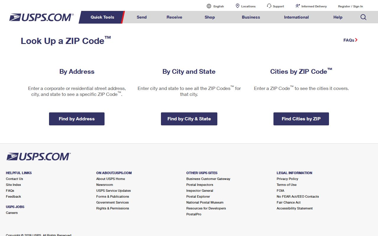
The official USPS lookup interface is shown below. It requires a live address to return a Salina-specific result, so the image records the source tool rather than claiming a preselected local outcome.
After USPS returns a delivery ZIP, retain the exact address and date. Then compare it to Go2Gov or GIS for parcel research. Historic directories can use an older postal convention or predate ZIP codes, so their printed city and year should remain part of the citation.
Boundary check. The county ZIP map is a generalized local reference, while USPS validates a delivery address. Neither source alone establishes a Salina municipal boundary or a parcel's legal description.
Salina ZIP Code Search Fields
ZIP is visible in several state search systems, but the search purpose differs from a directory. The New York Department of State license-name search is a confirmed public portal with a ZIP Code field. It also exposes name, license-type, county, and city controls. Its results concern current license records and do not establish a complete set of Salina residents.
| DOS portal field | Control | Required status | Research use |
|---|---|---|---|
| Last Name | Text | Requirement not captured | Named license search |
| First Name | Text | Requirement not captured | Additional name narrowing |
| License Type | Dropdown | Requirement not captured | Choose a listed license category |
| County | Dropdown | Requirement not captured | Onondaga County narrowing |
| City | Text | Requirement not captured | Postal-city or locality text when applicable |
| ZIP Code | Text | Requirement not captured | Five-digit ZIP-based narrowing |
The New York unclaimed-funds search also exposes City, ZIP, and Property ID narrowing after the required last or business name and first name fields. The public voter lookup displays ZIP as a location prompt beside identity fields. Go2Gov, by contrast, exposes owner, property, mailing, and tax-map modes with no confirmed ZIP field in the captured form. GIS has ZIP-boundary layers but no documented ZIP-only resident search or export.
Search Salina ZIP Code Records
A ZIP narrows a targeted record check, but it does not produce a validated list of everyone in a delivery area. Begin with a full address or a known name. Select the portal that can answer the specific question, and write down which field used the ZIP. Then confirm an address-led result through the county parcel records before connecting it to a town or street.
- Enter the delivery address in USPS ZIP Code Lookup and save the returned ZIP or ZIP+4 with the search date.
- Use a known person's name and the ZIP prompt in the state voter locator only to check that person's registration or polling information.
- For a name-based state license or unclaimed-funds search, add ZIP as a narrowing field and read the result as that program's record, not a residence finding.
- Locate an address or parcel in Go2Gov or GIS. Both are address or parcel tools, not confirmed ZIP-wide people searches.
- Once a ZIP has narrowed the area to a particular street, use the Salina street directory workflow for the parcel, deed, and historic-address trail.
The state voter locator requires County, last name, first name, date of birth, and ZIP prompts. Under Election Law §3-220, protected identifiers are withheld and registration records remain under Board of Elections supervision. The public form has no confirmed ZIP-wide roster function.
Salina ZIP Code Parcel Crosschecks
County GIS can search owner, address, or parcel ID and offers advanced land-use type, property class, acreage, and municipality criteria. Its Buffer, measure, PDF, and CSV tools can help document map context, but the county warns that parcel boundaries are not survey-grade or legal boundary evidence. Use a selected Salina parcel to compare a postal ZIP layer with the assessment situs and legal description, not to infer a complete resident list from a map shape.
Go2Gov keeps the physical property-address side distinct from mailing-address mode. The 2025 roll example is a practical test: a Salina physical location can be paired with an owner address using a Syracuse postal label. When the difference matters, retain both fields exactly, including the roll date, rather than replacing one with the other.
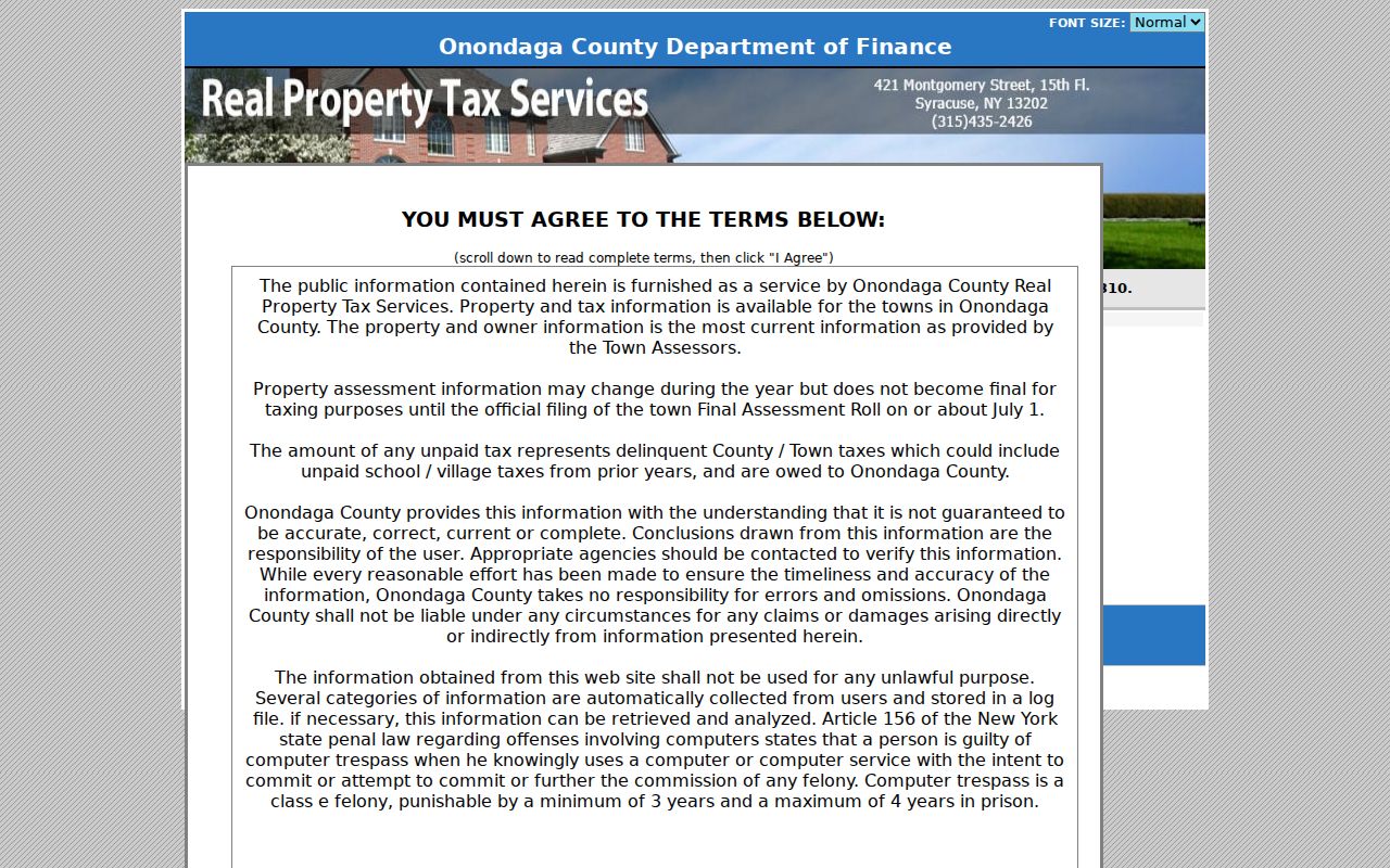
The Onondaga Go2Gov property-search screen shows the owner, property-address, mailing-address, and tax-map choices used for a parcel crosscheck.
That property record can clarify a situs or owner-address label after USPS verifies delivery ZIP information, but it does not turn a ZIP search into a list of people.
Salina ZIP Code History Gaps
No official Salina ZIP split or realignment year was located. That is a useful limitation, not a missing fact to fill with a guess. For a historic address, compare the directory year's printed postal city or address convention, a current USPS result, and the county parcel or GIS record. Do not back-project a modern ZIP onto an older volume that may predate ZIP adoption or use a different postal-city style.
OCPL's historical directory and telephone-book collections can provide the printed address layer. City directories run from 1844 to the present with gaps, and telephone books from 1894 to the present. Their address sections can suggest where to look next, but a historical printed entry must remain dated and should be paired with a deed, plat, or assessment record when municipal geography matters.
Note: No verified Salina-wide ZIP realignment date was found in the official sources used for this postal research.
Salina ZIP Code Boundary Terms
Postal terms answer delivery questions. Parcel and town records answer a different set of questions. Keeping the terms distinct prevents a ZIP code directory search from making a broader claim than its source supports.
- ZIP code
- A postal delivery code used to route mail. It is not a municipal polygon or a parcel boundary.
- ZIP+4
- An added four-digit delivery designation tied to a specific address or delivery segment. It does not prove ownership or town jurisdiction.
- PO-box ZIP
- A ZIP used for post-office box delivery. Do not assume it applies to a physical street address without a USPS address check.
- Unique ZIP
- A postal code associated with a single organization or delivery arrangement. No such Salina ZIP classification was documented in the research.
- Carrier route
- A delivery route used by postal operations. It is not a map of municipal limits or a list of people at addresses.
Salina ZIP Code Directory Limits
A ZIP code directory cannot establish a town limit, owner, current resident, full household, or a person's presence at an address. USPS confirms delivery formatting. Go2Gov and GIS provide property and parcel context. The voter lookup is for a known registered voter and may not return protected records. Utility, DMV, confidential-voter, sealed, and other protected information are outside this kind of public ZIP research.
Use the small set of fields each official source actually provides. For a town record not online, a focused request under New York Freedom of Information Law goes to the agency Records Access Officer, subject to disclosure limits. A ZIP result does not override those limits or authorize republishing address information.